Street view and updated maps in Map tool


Google Maps offers highly reliable and frequently updated map images. Google Maps is known for its extensive coverage and regular updates. This means that you can expect the satellite view in your Map tool to be more up to date, providing you with the most accurate and current information about the areas that your buses traffic.
Street view
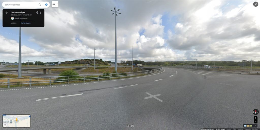
One of the key advantages of this switch is the introduction of Street View for historical and live positions of vehicles. With Google Maps, you will now have the ability to view the street-level imagery of the locations where your vehicles have been or are currently located. This feature provides valuable insights and a more immersive experience, allowing you to have a better understanding of the surroundings and make more informed decisions.
The street view can be accessed from three different points in the Map tool:
From Vehicle Details, to view the last known position of a specific vehicle
2. From Position History, to view the position of a reported event from a vehicle
3.From any point on the map, to see the street view of a specific location on the map
To open Street view, simply click on the button from any of the above suggestions, and the street view will open in a new tab in your browser. If the window doesn’t open, make sure that your browser allows pop-up windows.
A pop-up message appears if you select an area on the map that does not have street view coverage.
By leveraging the power of Google Maps, we aim to enhance your overall mapping experience and provide you with a more comprehensive and detailed view of your fleet's locations.
Please note that the following features will use HERE as the supplier but be shown on the Google map.
Traffic incidents
Road info with updated design on signs and prohibited roads (see more info below)
Route planning and road restrictions
Search on map
Vehicle locations are available for vehicles with services Position and Events. Contact your market representative to start a subscription for your vehicles.